 Beyond the Overlook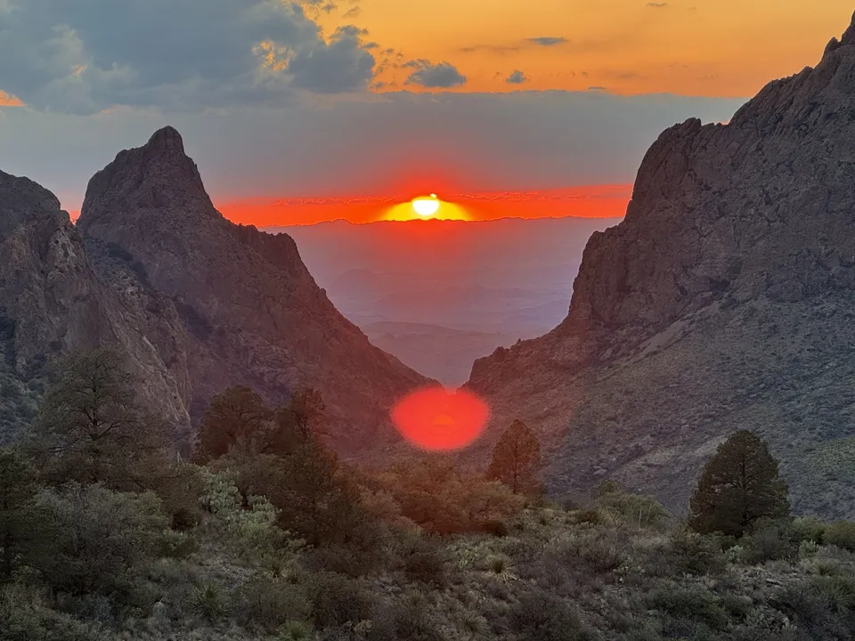
Big Bend is enormous, remote and varied enough that a single day can move from desert to mountains to the Rio Grande. We visited in May 2025 and packed in the park's major hiking areas, but the biggest lesson was simple: do not underestimate the driving, heat or lack of reliable cell service.
Big Bend is huge, drives between areas are long, and cell service is unreliable. We downloaded GuideAlong before entering the park, and it turned those long drives into part of the experience. The tour works offline and automatically gives you stories, history and details about the landscape and places you are passing. We learned a lot more about the park because of it.
Explore the Big Bend GuideAlong tour →
Affiliate disclosure: We may earn a commission if you purchase through our GuideAlong link, at no extra cost to you.
What we did in Big Bend
Santa Elena Canyon →
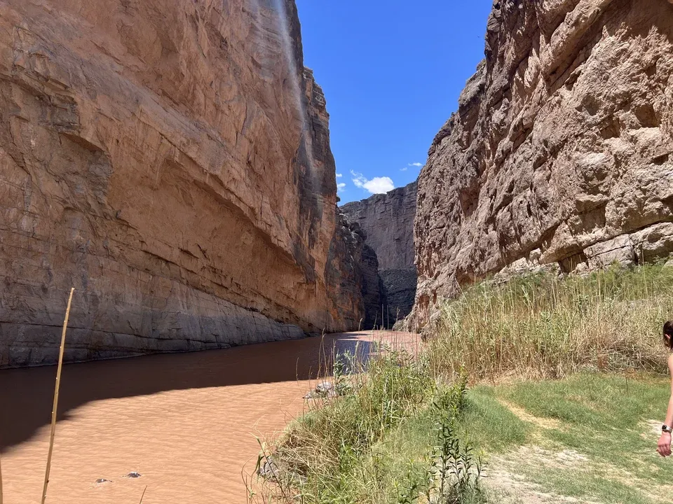
A 1.6-mile canyon hike where recent rain turned our Terlingua Creek crossing into an adventure.
Lost Mine Trail →
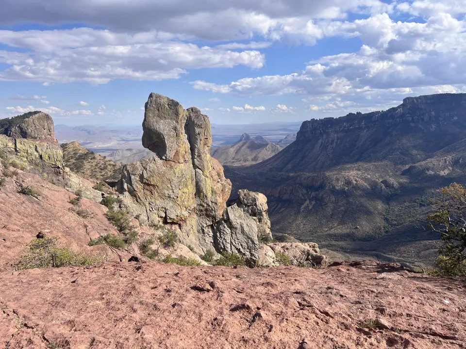
Our favorite shorter mountain hike, with huge views appearing early and continuing as we climbed.
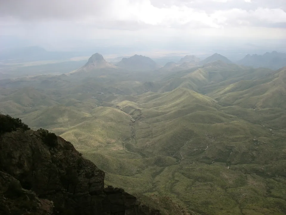
South Rim Trail →
Our major hiking day, with enormous views and some of the most memorable birdlife we saw in the park.
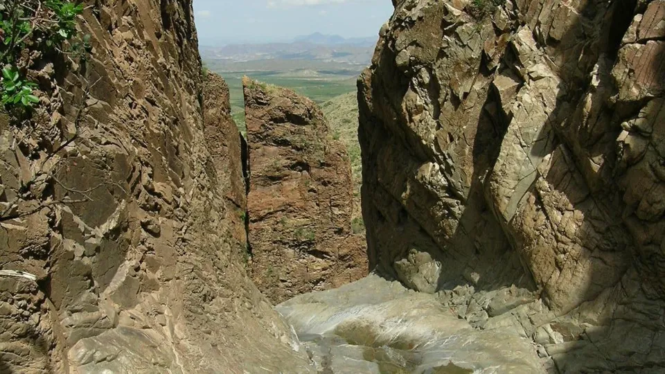
The Window Trail →
A downhill start and uphill return where afternoon heat and carrying enough water really mattered.
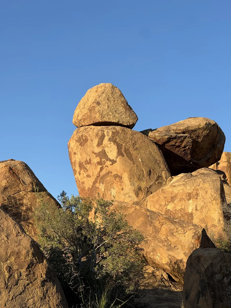
Balanced Rock →
Arches-like formations and a fun short hike, but a rough access road that now requires high clearance.
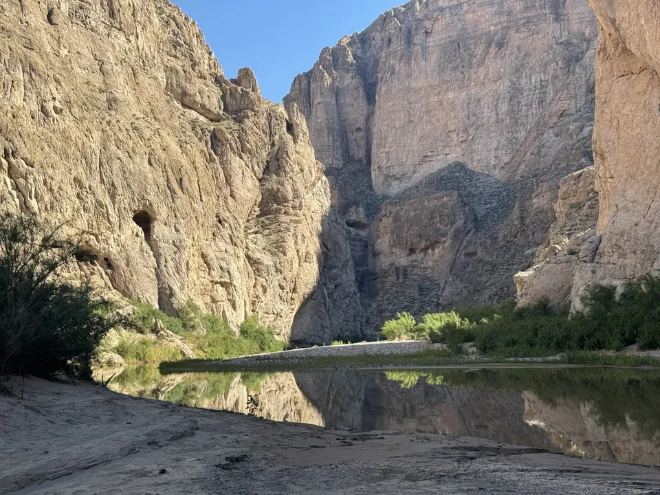
Boquillas Canyon Trail
A riverside canyon walk where we saw lots of animals, before crossing into Mexico afterward.
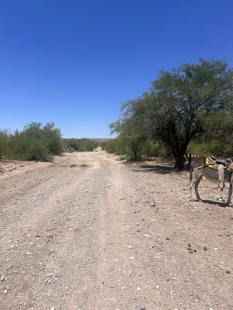
Boquillas Crossing →
How we used the official border crossing and visited Boquillas del Carmen in Mexico.
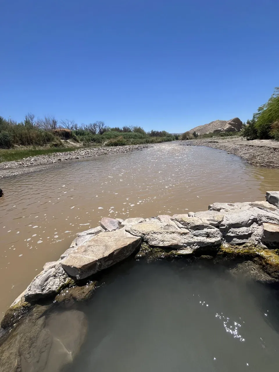
Big Bend Hot Springs →
A short walk to the 105°F spring where we soaked beside the Rio Grande after hiking.
Big Bend is too big to treat like a normal national park
Big Bend protects more than 800,000 acres, and its main areas are spread far apart. A map can make two stops look close when they still require a substantial drive. We would group days geographically rather than bouncing between Santa Elena, Chisos Basin and Rio Grande Village.
This is also why offline navigation matters. Download maps, your GuideAlong tour and anything else you need before entering the park. Do not assume you will have enough service at a trailhead to look something up.
Watching sunset from the Window viewpoint in the Chisos Basin was one of our favorite parts of staying here.
Our favorite Big Bend hikes
Lost Mine for the best shorter mountain hike
Lost Mine is 4.8 miles round trip with about 1,100 feet of climbing. The reason we liked it so much was that the views did not wait until the end. It has some steady climbing, but it moved quickly for us and delivered huge Chisos views without requiring an all-day commitment.
South Rim for the big hiking day
South Rim is the opposite: this is the hike to build a day around. NPS lists 12 to 14.5 miles and about 2,000 feet of gain depending on the route. We remember incredible views and birdlife in the higher Chisos. If we were choosing one major hike for strong hikers, this would be it.
Santa Elena for maximum scenery in very little mileage
Santa Elena Canyon is only 1.6 miles round trip, but the 1,500-foot canyon walls make it feel enormous. Recent rain made our Terlingua Creek crossing much deeper than normal, adding an unexpected adventure before the hike even began.
Balanced Rock for completely different scenery
Balanced Rock reminded us a little of Arches. The 2.2-mile hike is short and fun, with a bouldery finish. The problem is Grapevine Hills Road. We made it in a car in 2025, but current NPS guidance requires a sturdy high-clearance vehicle. We would follow current road guidance, not our luck.
The Window: easy going out, harder coming back
The Window Trail descends from Chisos Basin toward the pour-off, which means the return is the climb. We hiked it in the afternoon and saw rangers checking whether people had enough water and turning underprepared hikers away. That made the heat risk very tangible. In Big Bend, the time of day can change how hard a hike feels.
Boquillas and the Hot Springs are worth making time for
The east side gave us two experiences that felt nothing like the mountain hikes. At the Boquillas Crossing, we used the official Port of Entry, crossed the Rio Grande and visited Boquillas del Carmen in Mexico. It requires proper documentation and the port's days and hours can change, so this is something to schedule rather than improvise.
We also loved Big Bend Hot Springs. The spring emerges at about 105°F beside the Rio Grande, and sitting there after hiking felt fantastic. We cooled off in the river afterward, but current NPS guidance does not recommend swimming in the Rio Grande because of changing currents, depths and other hazards.
Staying in Chisos Basin was incredibly convenient
We stayed at Chisos Mountains Lodge in May 2025. The room itself was simple; the location was the reason to stay. We could access Chisos hiking without another long drive and watch a spectacular sunset through the Window from the Basin.
Current planning note: the planned 2026 Chisos Basin construction closure was cancelled, so the Basin remains accessible. However, NPS currently lists the Chisos Mountains Lodge front desk and restaurant as closed, with a food truck and Basin store operating. Check current NPS and concession information before planning around lodging or dining because the situation has changed since our stay.
How we would plan Big Bend
We would give the park several days and organize them by area. Put Santa Elena with Ross Maxwell Scenic Drive, use a Chisos day for Lost Mine or South Rim, and group Boquillas, the Hot Springs and Rio Grande Village. Balanced Rock is a separate decision because the access road matters as much as the hiking time.
Big Bend rewards ambitious days, but it punishes inefficient driving and poor heat planning. Download what you need, carry more water than you think you need, check current road and river conditions, and decide which area you are exploring before you start driving.
Planning the full road trip? See our Carlsbad Caverns → Guadalupe Mountains → Marfa → Big Bend road-trip itinerary.