 Beyond the Overlook
South Kaibab Trail to the Colorado River
We descended nearly a vertical mile from winter at the rim to the Colorado River - then had to climb every foot back out.
Firsthand guide · Last reviewed August 2026 · How we review our guides
6.3 mi one way
4,860 ft
Mid-March
None
Important: We completed this as a very long day hike. The National Park Service does not recommend hiking below Skeleton Point as a day hike and lists Phantom Ranch as a two-day trip. Our experience is not a recommendation that everyone copy our day.
The canyon makes you earn the river
We took South Kaibab down to the Colorado River and the Phantom Ranch area, then returned to the South Rim on South Kaibab. The route itself was not especially technical for us. What made it hard was the scale: more than 4,800 vertical feet down, then nearly a vertical mile of climbing after you have already spent hours descending.
That reversal is what makes Grand Canyon hiking so different from a typical mountain hike. The morning feels like you are being rewarded immediately as you descend. The hard part is waiting for you at the end.
March started with ice
At the rim, we needed jackets, hats and microspikes. The upper switchbacks were icy enough that the traction mattered. After descending several switchbacks, the ice disappeared and the conditions changed quickly. By the time we reached the river, it felt roughly 20 degrees warmer than it had at the top.
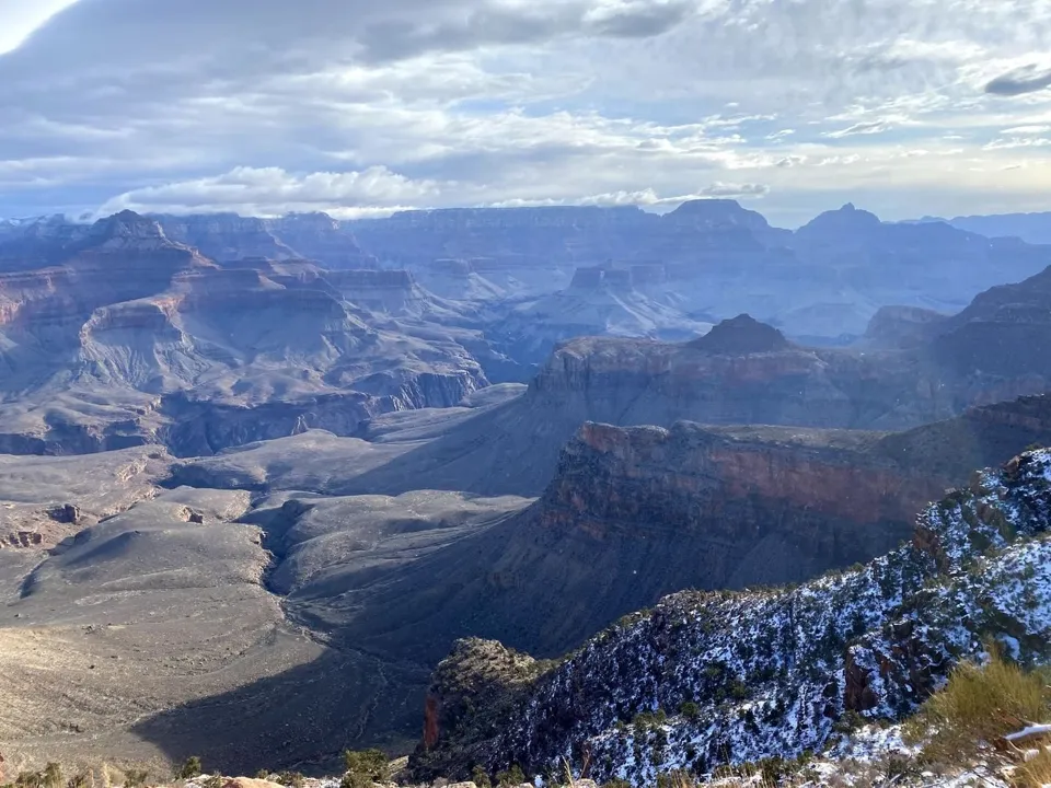
That temperature swing is one of the reasons packing for an inner-canyon hike can be tricky. In cool seasons, the rim and the river can feel like two different trips. In hot weather, that same elevation change can make the inner canyon dangerously hot.
The views keep changing as you descend
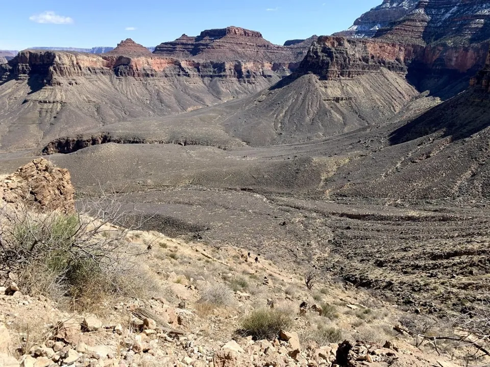
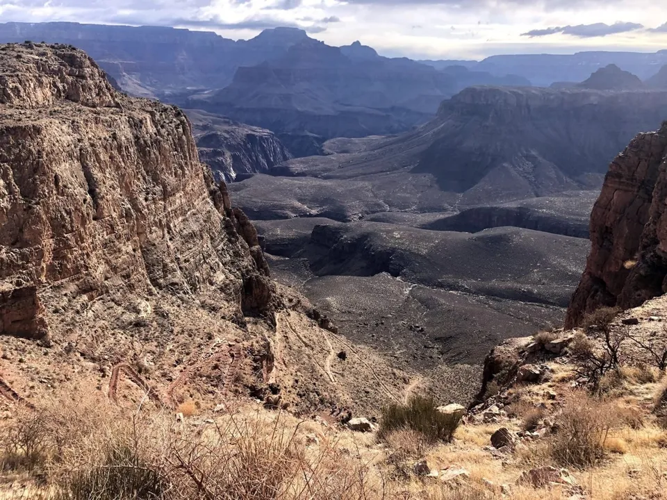
From above, the canyon is almost too large to process. On South Kaibab, the ridgeline keeps revealing new layers and new angles. The Colorado River starts as something you can barely identify below and gradually becomes the destination.
Getting to the Colorado River was worth it
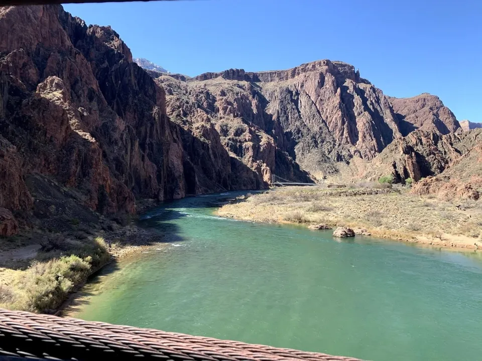
Standing beside the Colorado River after seeing it from the rim was one of the coolest parts of the day. We continued through the Phantom Ranch area but did not stay overnight. Phantom Ranch looked like a great way to split up the experience if you can get a reservation.
We saw mules on the trail
We also saw mule trains making their way down into the canyon. We did not ride, so we cannot review that experience firsthand, but it was a reminder that hikers share the corridor trails with stock. Follow posted guidance and give mules the space requested by wranglers.
South Kaibab down and Bright Angel up is another option
We went down and back on South Kaibab. NPS recommends a different river itinerary for many hikers: South Kaibab down and Bright Angel back up. South Kaibab is shorter and more exposed, with no water on the trail. Bright Angel is longer - about 7.8 miles from rim to river - but offers more shade and water infrastructure at certain locations. Always verify current water availability before relying on it.
| Trail | Rim to river | Elevation change | Character |
|---|---|---|---|
| South Kaibab | 6.3 mi | 4,860 ft | Exposed ridgeline, huge views, no water |
| Bright Angel | 7.8 mi | 4,460 ft | Longer, more shade, water infrastructure in places |
Would we do it again?
Yes - but this was a huge day. The river was special, but the most important lesson is that you do not need to reach it to understand the Grand Canyon better. If the distance, weather or logistics make the full route unrealistic, hike South Kaibab to Ooh Aah Point, Cedar Ridge or Skeleton Point and turn around.
Worth it? For experienced, well-prepared hikers, getting deep into the canyon is unforgettable. For most visitors, we would prioritize getting below the rim over checking off the river in a single day.